GPS Solutions: Finding the Right Navigation Technology
GPS solutions help people, businesses, and organizations determine location, plan routes, and keep track of vehicles or equipment. From the navigation app on a phone to fleet-tracking systems used by commercial operators, these tools use satellite signals and mapping data to make travel and logistics easier to manage.
What Is a GPS Solution?
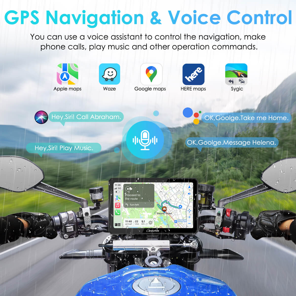
A GPS solution combines location technology with hardware, software, or services. A basic setup may provide turn-by-turn directions, while a more comprehensive system can include live traffic information, location sharing, vehicle tracking, or reporting tools. The right option depends on how and where it will be used.
Common Types of GPS Solutions
- Personal navigation: Smartphone apps and portable GPS devices help drivers, hikers, cyclists, and travelers find routes and navigate unfamiliar areas.
- Vehicle navigation: In-car systems provide directions, points of interest, and, depending on the device and service, traffic updates and route alternatives.
- Fleet tracking: Businesses can use GPS-enabled equipment to view vehicle locations, coordinate routes, and review trip information.
- Asset tracking: GPS trackers can help organizations monitor the location of certain vehicles, containers, or equipment.
- Outdoor navigation: Dedicated devices and apps support activities such as hiking, boating, and off-road travel, sometimes with offline maps or specialized charts.
How GPS Navigation Works
GPS receivers calculate their position by receiving signals from satellites. Navigation software then compares that position with digital map data to display a location and suggest routes. Many systems also use information from other sources, such as cellular networks, Wi-Fi, traffic services, or vehicle sensors, to improve the overall experience.
GPS signals can be affected by conditions such as tall buildings, tunnels, dense tree cover, or limited visibility of the sky. For that reason, a navigation device may occasionally take time to establish a position or may show less precise location information in challenging environments.
Benefits of GPS Solutions
- More confident travel: Clear directions and route guidance can make unfamiliar journeys easier to navigate.
- Efficient trip planning: Route options and estimated travel times help users plan ahead.
- Improved coordination: Location sharing and fleet tools can help teams coordinate vehicles and field work.
- Greater visibility: Tracking systems can provide useful information about the location and movement of connected assets.
- Support for outdoor activities: GPS devices can help users follow routes and record their journeys.
Choosing the Right GPS Solution
Before choosing a GPS solution, consider the tasks it needs to perform. A driver who wants simple, reliable directions may prefer a navigation app or dedicated in-vehicle device. A business managing multiple vehicles may need a fleet platform with tracking, reporting, and user-access controls. Outdoor users may prioritize battery life, durable construction, offline maps, or water resistance.
It is also worth checking map coverage, update options, subscription fees, device compatibility, and how the service handles location data. For business use, consider whether the system can scale as the organization grows and whether its reporting features match operational needs.
GPS and Privacy
Location data can be sensitive. Review the privacy settings and terms for any GPS app or tracking service, and understand who can access location information and how long it is retained. Businesses should establish clear policies about tracking company vehicles or equipment and inform employees when applicable.
Getting More from GPS Technology
GPS solutions are most useful when they match the user’s needs and are kept up to date. Regularly update maps and software, check device settings before a trip, and consider carrying a backup plan for areas with limited connectivity. With the right tools and preparation, GPS technology can make navigation, travel planning, and location management more straightforward.
GPS Solutions FAQs: Services, Types, Costs, Alternatives, and More
- What services are offered by GPS solutions?
- What are the three types of GPS?
- Is GNSS better than GPS?
- What is the impact factor of GPS solutions?
- How much does GPS service cost?
- What is replacing GPS?
- What is the best free GPS?
- What is GPS solutions?
What services are offered by GPS solutions?
GPS solutions offer a range of services, including turn-by-turn navigation, route planning, real-time traffic updates, vehicle and fleet tracking, asset monitoring, and location sharing. Some providers also offer geofencing alerts, trip history, reporting tools, and specialized navigation for activities such as hiking or boating. Available features vary by device and service, so check the provider’s plan to find the options that fit your needs.
What are the three types of GPS?
The three common types of GPS devices are GPS navigators, GPS trackers, and GPS data loggers. Navigators provide directions and route guidance, trackers report a device or vehicle’s location—often in real time—and data loggers record location information for later review. These are practical categories rather than an official classification, and some devices combine more than one function.
Is GNSS better than GPS?
GNSS is not a separate system that is simply “better” than GPS: GNSS is the general term for satellite navigation systems, while GPS is the system operated by the United States. A receiver that supports multiple GNSS constellations—such as GPS, Galileo, and GLONASS—can often access more satellites, which may improve availability and positioning in challenging environments. For many everyday uses, GPS alone works well, but a multi-GNSS device can offer added coverage and reliability.
What is the impact factor of GPS solutions?
The impact factor of GPS solutions depends on how they’re used, since there isn’t one universal metric for measuring their impact. In everyday navigation, GPS can make trips easier by providing directions, estimated arrival times, and route options. For businesses, GPS tracking may help improve fleet visibility, coordinate deliveries, and manage assets. Results vary based on signal conditions, map accuracy, device quality, and how well the system fits the user’s needs.
How much does GPS service cost?
The cost of GPS service depends on the type of solution and features you need. Basic navigation apps may be free, while premium apps or map updates can require a subscription or one-time fee. Dedicated GPS devices have an upfront purchase cost, and vehicle or fleet-tracking services may charge a recurring fee for connectivity, monitoring, and reporting. Check what’s included—such as live traffic, map updates, data plans, and customer support—before choosing a service.
What is replacing GPS?
GPS isn’t being replaced by a single technology, but it is increasingly supported by other positioning systems. These include satellite navigation networks such as Galileo, GLONASS, and BeiDou, as well as cellular, Wi-Fi, Bluetooth, and device-based sensors that can help estimate location when satellite signals are weak or unavailable. Newer approaches, including low Earth orbit satellite services and visual positioning, may also improve coverage and accuracy. In most cases, these technologies complement GPS rather than replace it, creating more reliable location services.
What is the best free GPS?
The best free GPS depends on how you plan to use it. For everyday driving, Google Maps and Apple Maps offer turn-by-turn directions, traffic updates, and route options at no cost; availability and features can vary by device and location. If you need offline navigation, look for an app that lets you download maps before traveling, since live traffic and some services may require an internet connection. Compare map coverage, ease of use, privacy settings, and whether the app works well for your preferred travel mode before choosing.
What is GPS solutions?
GPS solutions are products and services that use Global Positioning System technology to determine location and support navigation or tracking. They can include smartphone apps, in-car navigation devices, fleet-tracking platforms, and GPS trackers for equipment. Depending on the system, features may include turn-by-turn directions, route planning, location sharing, traffic updates, and location reports.